In this analysis
A changed pixel is the beginning of a question
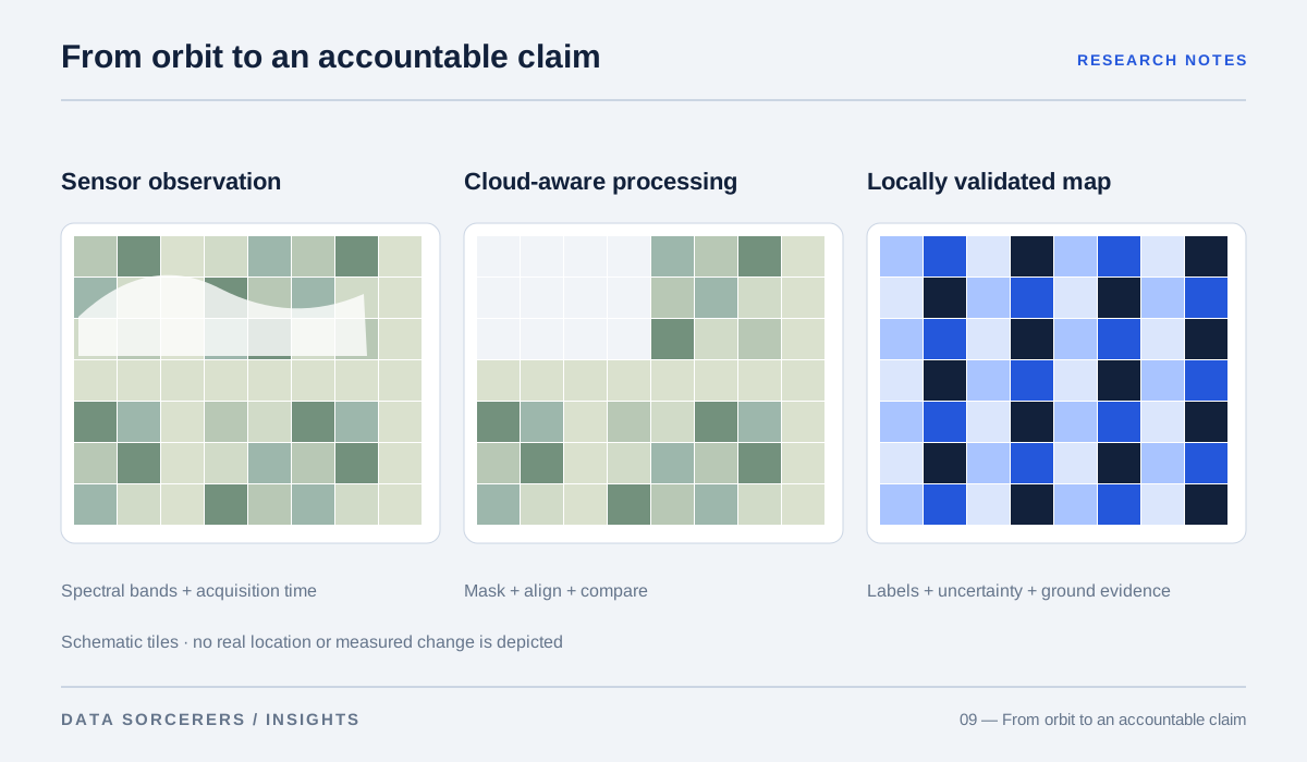
Two satellite images show a patch of land with different colors. It is tempting to interpret the contrast as a new construction site, damaged vegetation, or a flood. Yet the difference could also reflect seasonality, atmospheric conditions, shadows, or changes in the processing pipeline. The image is an observation produced by a sensor and a chain of transformations. A decision requires an account of what those transformations preserve and what they cannot establish.
Copernicus documents Sentinel-2’s spectral bands at different spatial resolutions. USGS describes Landsat Level-2 products that provide derived surface-reflectance and surface-temperature information. 12 These are powerful resources, but their specifications must be matched to the question. A product designed for regional land monitoring cannot automatically resolve a small object or explain why a change occurred.
Resolution is not a single promise
Spatial resolution describes one part of what a sensor can distinguish. Spectral information, revisit opportunities, viewing conditions, and processing choices also shape the usable observation. A nominal pixel size does not mean every object of that size will be reliably identified. Mixed pixels can contain several surface types, especially near boundaries.
The Sentinel-2 mission documentation makes clear that its bands do not all share one native spatial resolution. 1 Resampling them onto a common grid can simplify analysis, but it does not create new measured detail in the coarser bands. For a hypothetical infrastructure-monitoring project, define the smallest change that matters and ask whether the available observation can support it before selecting a model.
A label comes with a vocabulary
Dynamic World provides land-cover class probabilities and labels at 10-meter resolution, while ESA WorldCover offers global land-cover maps with its own classes and production context. 34 These products are not interchangeable descriptions of every local environment. A category that is useful globally may combine distinctions that matter to a particular planning decision.
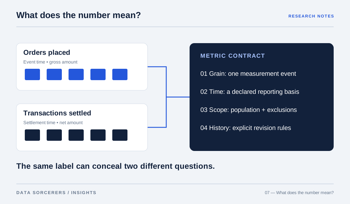
Our recommendation is to document the label vocabulary before measuring model accuracy. Does “built area” include the features the user wants to monitor? How should mixed or transitional land be treated? Preserve probabilities where they are available instead of displaying only a winning class. A categorical map can look definitive even when the underlying observation is ambiguous or falls near a class boundary.
Benchmark success has a geography
EuroSAT establishes a land-use and land-cover classification benchmark using Sentinel-2 imagery. BigEarthNet provides a large multi-label archive, recognizing that an image can contain more than one relevant category. 56 Their datasets and tasks enable reproducible research, but a score on either does not establish performance in every region, season, or local classification system.
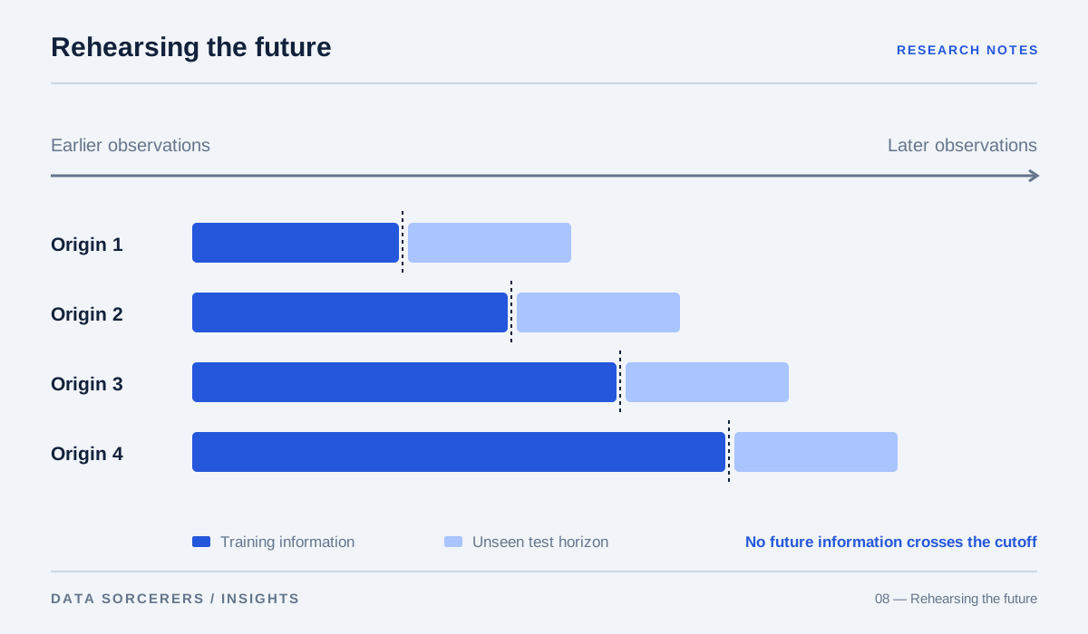
A project in Indonesia should inspect representative local conditions rather than assume transfer from a benchmark population. Cloud patterns, agricultural cycles, settlement forms, and label practices may differ. We suggest geographically separated evaluation where appropriate, with explicit attention to how nearby samples can share visual and environmental characteristics. Randomly separating adjacent patches may produce a more optimistic estimate than testing a genuinely new location.
Objects and land cover are different tasks
SpaceNet supports tasks such as mapping infrastructure from overhead imagery, while xView focuses on objects in high-resolution scenes. 78 These benchmarks illustrate different units of analysis: a land-cover patch, a building footprint, and a small vehicle are not equivalent prediction targets.
For a disaster-response workflow, the required output might be a road interruption, an affected-area estimate, or a location requiring human inspection. Each implies different image requirements and evaluation criteria. A model that classifies an entire patch correctly can still miss a narrow road. Conversely, accurate object detections do not necessarily yield a reliable regional impact estimate. Define the decision output before choosing a convenient benchmark task.
The clouds are part of the uncertainty
The Earth Engine s2cloudless tutorial combines cloud-probability information with additional processing to identify clouds and shadows. 9 Masking is an analytical step with parameters and failure modes, not a universal guarantee that the remaining image is clean. It can remove useful observations as well as leave contamination.
A time series with missing cloudy periods may be least informative during the event of greatest interest. Show observation dates, masked areas, and gaps to the reader. When comparing before and after imagery, inspect whether seasonal timing and acquisition conditions differ. Our proposed practice is to distinguish observed change from inferred change and to reserve causal explanations for evidence that can actually support them.
Foundation models do not remove local validation
Jakubik and colleagues’ work on geospatial foundation models investigates pretraining and adaptation across several downstream tasks. 10 It offers evidence for reusable representations in the studied settings, not a guarantee that a pretrained system will solve a new geographic problem without appropriate labels and evaluation.
For a local monitoring project, compare adaptation against simpler task-specific baselines. Record training geography, sensor compatibility, temporal coverage, and the quality of reference labels. Ground observations, official records, or expert interpretation may be needed to assess whether a detected pattern corresponds to the event of interest. A model can produce a visually convincing map while being systematically wrong in a particular landscape.
Match the unit of validation to the decision
A pixel-level accuracy score can be dominated by a large, easy background class. If the task is to identify a small flooded access road, that aggregate may say little about whether the road was found. Object detection, segmentation, and regional area estimation require different matching and error-accounting rules. SpaceNet and xView illustrate why overhead-imagery benchmarks define particular tasks rather than a universal “satellite AI accuracy.” 78
For a local monitoring workflow, specify whether an error is a missed object, an inaccurate boundary, an incorrect class, or an unreliable total area. Include the uncertainty of the reference labels themselves. A hand-drawn boundary is not automatically a perfect ground truth, especially when image dates differ from field observations. The evaluation should make these disagreements inspectable rather than compressing them into a single number that appears more precise than the reference evidence allows.
Turn a map into an inspectable decision aid
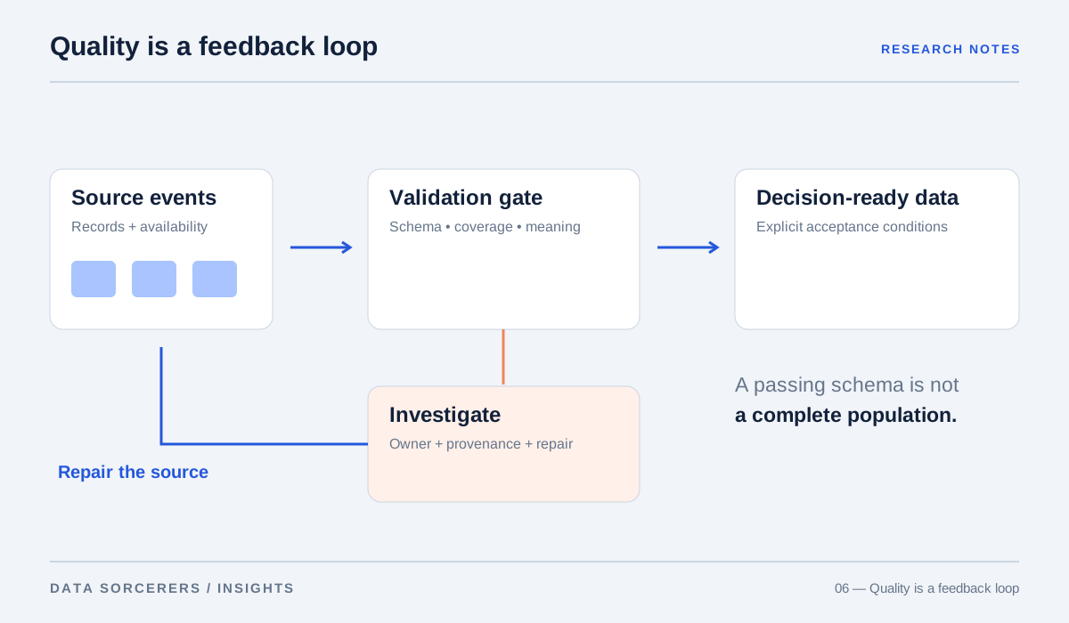
A useful interface should let an operator trace an alert to its image date, source product, processing steps, and uncertainty. Present the relevant scale and make unavailable observations visible. If a map supports prioritization rather than a definitive determination, say so in the product’s behavior and wording.
The scientific value of satellite data lies in repeatable observation at scales that would otherwise be difficult to monitor. Its limitations are equally consequential. Our conclusion is to use imagery as evidence within a decision process, supported by validation and complementary information. The goal is not to make every pixel look certain. It is to help people distinguish what was observed, what the model inferred, and what still requires investigation.
Attach context and uncertainty to the map, not just a compelling color scale.
Sources & methodology
This editorial synthesizes primary research, technical standards, and original engineering documentation. It is not an original experimental study or a systematic literature review. Research findings apply to the conditions studied; product recommendations are our interpretation. Figures explain concepts and do not present experimental measurements.
Sources checked on 31 October 2026. Publication dates and preprint versions may differ; the linked record identifies the referenced work. To suggest a correction, email contact@data-sorcerers.com.
- Copernicus / ESA — Sentinel-2 Mission ↗Back to text ↑
- USGS — Landsat Collection 2 Level-2 Science Products ↗Back to text ↑
- Google Earth Engine — Dynamic World V1 Dataset Catalog ↗Back to text ↑
- ESA — WorldCover ↗Back to text ↑
- Helber et al. (2017) — EuroSAT: A Novel Dataset and Deep Learning Benchmark for Land Use and Land Cover Classification ↗Back to text ↑
- Sumbul et al. (2019) — BigEarthNet: A Large-Scale Benchmark Archive for Remote Sensing Image Understanding ↗Back to text ↑
- Van Etten, Lindenbaum and Bacastow (2018) — SpaceNet: A Remote Sensing Dataset and Challenge Series ↗Back to text ↑
- Lam et al. (2018) — xView: Objects in Context in Overhead Imagery ↗Back to text ↑
- Google Earth Engine — Sentinel-2 Cloud Masking with s2cloudless ↗Back to text ↑
- Jakubik et al. (2023) — Foundation Models for Generalist Geospatial Artificial Intelligence ↗Back to text ↑